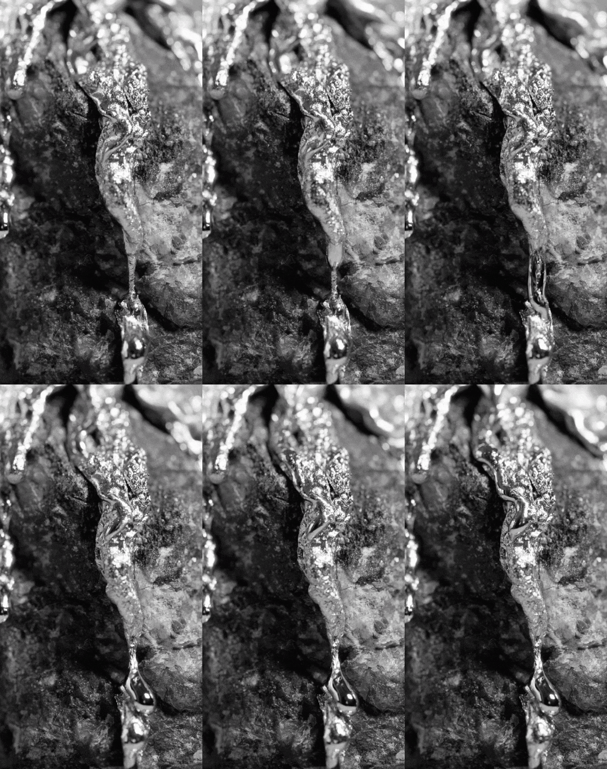
Whereas the grounds are melting, our positions are getting lost day by day.

For years, we have been trying to understand the world and represent it again with computers' help. With the emergence/involvement of the computer in the sixties that corresponds to the first attempts of digital mapping processes, land census, and calibration systems, the world's first virtual images have been rendered. While the earth becomes an intangible object assembled from satellite images, GIS data, aerial photos, and a globe to spin by clicking on a mouse, the technological tools that make this possible leave actual, physical traces of earth. Sometimes a material change in the world or appear in archaeological sites or dissolves civilizations or protects us, sometimes from magic, sometimes from radioactive rays. Whereas the grounds are melting, our positions are getting lost day by day.


